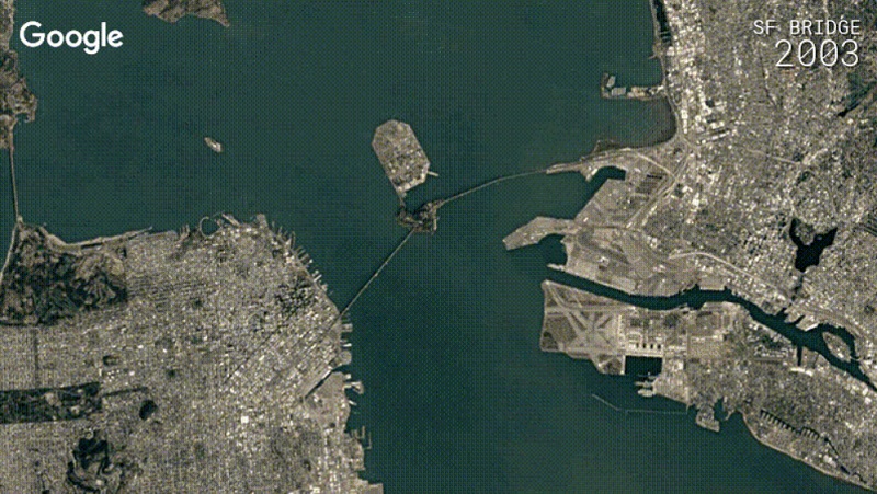
Google Earth Timelapse has received an update which brings with four additional years of imagery, petabytes of new data, and a sharper view of the Earth from 1984 to 2016.
Google Earth Engine combined more than 5 million satellite images to create 33 images for the entire planet, one for each year. The new Timelapse reveals a sharper view of planet Earth with truer colors and fewer distracting artifacts. In 2013, Google released Google Earth Timelapse, comprehensive picture of the Earth’s changing surface by teaming up with TIME and the company has done it again for 2016 as well. The timelape shows us how the Earth has changed in the last thirty years or so.
Chris Herwig,
We took the best of all those pixels to create 33 images of the entire planet, one for each year. We then encoded these new 3.95 terapixel global images into just over 25,000,000 overlapping multi-resolution video tiles, made interactively explorable by Carnegie Mellon CREATE Lab’s Time Machine library, a technology for creating and viewing zoomable and pannable timelapses over space and time.
Shirase Glacier in Antartica, O’Hare airport in Chicago, San Francisco Bridge are some of the Timelapse GIFs shared on the site.
