Google has announced an update to its Maps, bringing two visual features that will add a lot more detail in land features and in street information. With these two visual updates, users will be able to easily understand and visualise what an area looks like, simple through the map view itself.

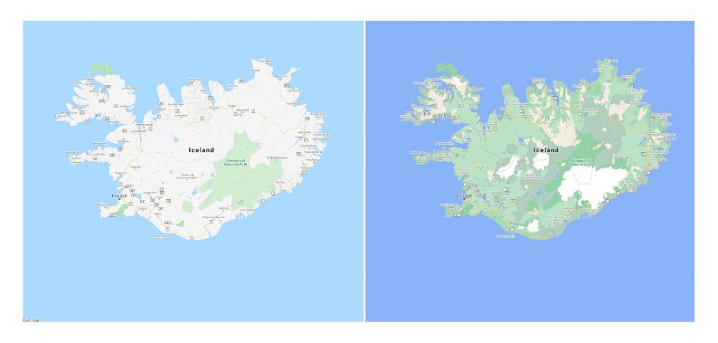
Google has deployed a new color-mapping algorithmic technique that uses computer vision identify natural features from satellite imagery. What this results in is the ability to better distinguish between similar land features like tan, arid beaches and deserts, blue lakes, rivers, oceans and ravines and even how lush and thick the green vegetation.

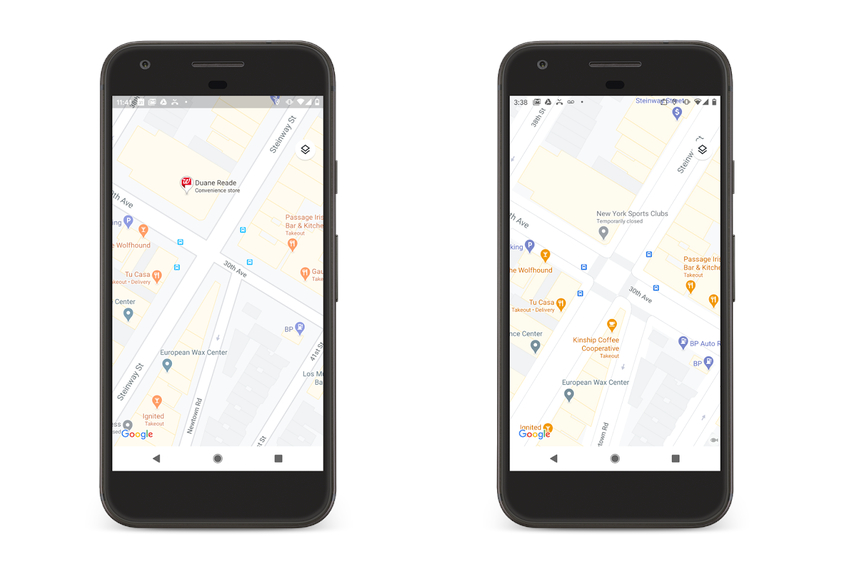
Street information also got a visual update that can help users to make informed decisions on getting around the city safely and efficiently. Maps will now show exactly where sidewalks, crosswalks, and pedestrian islands are located, along with accurate information on the shape and width of a road to scale.
Better natural features will be coming to Google Maps starting this week and detailed street maps will roll out in London, New York, and San Francisco in the coming months, with more cities coming later.
