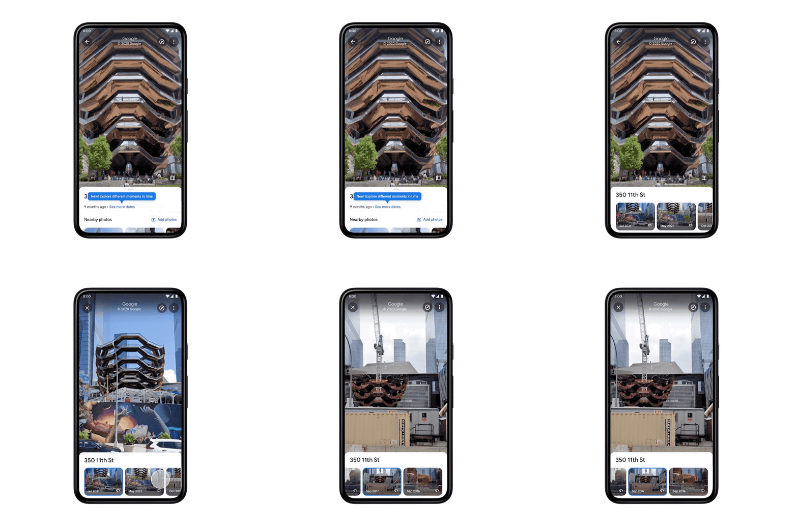
Street View by Google toasted its 15th birthday with a few new features and a brand-new camera to record a 360-degree view of the world. As a major feature, Google Maps Street View can now display historical photographs of many other famous locations on Google Maps.
Street View with a new camera
Another new thing that was announced is a camera that Google will use to make “Street Views” of different places. Unlike the Street View car and trekker, this new camera can be moved around and is made up of separate parts. Google claims it is “camera system that’s roughly the size of a house cat” and can take high-resolution pictures and process them better than other cameras.
It is small and weighs less than 15 pounds. First, it’s lighter and easier to operate; second, it can be transported anywhere around the world, allowing photos in even the most distant regions. As the camera is compact, it can be mounted on any roof rack. The new camera won’t need a computer to work. Instead, it can be controlled by a smartphone.

The new camera will be highly customizable, offering greater adaptability than its predecessor. Google claims modular components can be attached to the camera for future upgrades. A LiDAR attachment could improve road data. Google says the new camera will help them explore sustainable solutions.
Time travel with Street View
You can now use Google Street View on Android and iOS to really go back through time and see old pictures of various places. This will create a time capsule that shows how those places used to be and how they have changed over time. This feature was added in 2014 and seemed to be available on the desktop version of Google Maps.

To see older pictures of a place, just tap “See more dates” anywhere on the Google Street View of that place. This will let you see pictures from as far back as 2007. That is when Street View was first made publicly available.
Speaking on the announcement, Ethan Russell, Director of Product, Google Maps, said
Fifteen years ago, Street View began as a far-fetched idea from Google co-founder Larry Page to build a 360-degree map of the entire world. Fast forward to today: There are now over 220 billion Street View images from over 100 countries and territories — a new milestone — allowing people to fully experience what it’s like to be in these places right from their phone or computer. And Street View doesn’t just help you virtually explore, it’s also critical to our mapping efforts — letting you see the most up-to-date information about the world, while laying the foundation for a more immersive, intuitive map.
